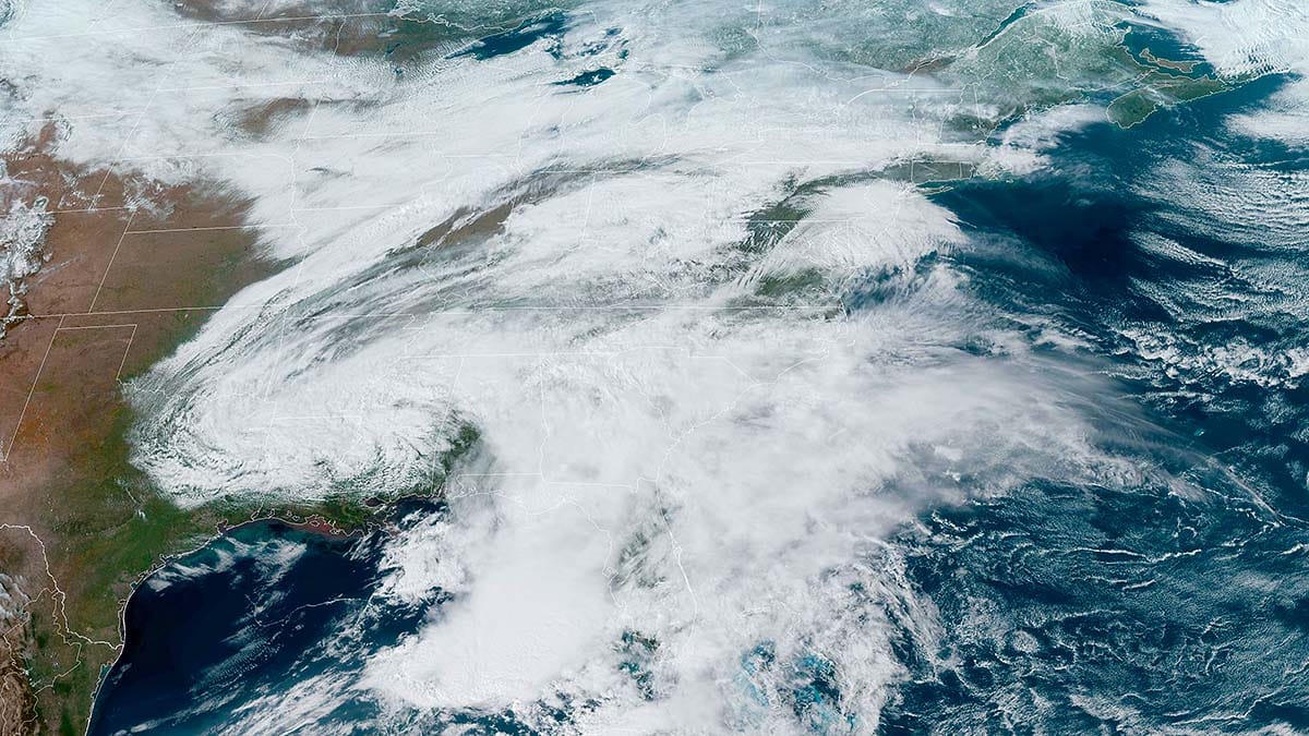
It's official, March is a miracle with many ski areas receiving 3 to 6 feet of snow in the past two weeks by Sunday! The recent snow will add 1 to 2 weeks of operations to many northern ski areas and also allow them to offer up far more terrain than what it looked like earlier this month. Hit it by Monday morning though because the snow will start to mank. The pow party is this weekend!
If you are wondering what has been happening with the modeling, as expected (thankfully), it shifted slightly south with the mix line, so if you looked safe yesterday you are no doubt safe today. Intensity of the snow has also increased overall in the models and we will see 18" or more of snow in parts of the region, across 4 states possibly. Some might even break 2 feet in less than 24 hours!
So let's start off with the broad view from the ECMWF covering roughly Noon today through Noon on Sunday to set things up.
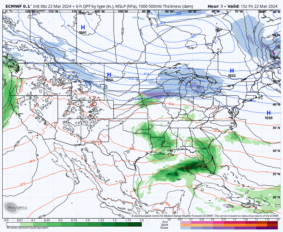
This isn't a nor'easter, there's very little circulation at the surface in the Northeast. This is actually what is known as an "anafront" where there is a boundary between the cold air to the north and the warm moist air to the south and the warm moist air pushes up and over that boundary creating lots of lift, instability, and heavy snow. This is further stoked by a weak storm traveling along the boundary. The Subtropical Jet Stream is having a shoving match with the Polar Jet Stream right over our heads and they will fight to a draw with the boundary barely budging which creates a persistent area of intense snow just to the north of that boundary. This also creates a persistent swath of sleet and freezing rain just to the south of the changeover line and we are going to see some major icing in some spots during Saturday, but far more will see copious amounts of snow. These tend to not be windy storms also so we're going to see a lot of snow and very little in the way of wind holds for lifts as a result. It's a perfect storm for many and possibly the last huge storm of the season so make sure you get yourselves some!
I'm going to cover the Snowfall and Precipitation Forecast first, then the Wind Hold Forecast for both Saturday and Sunday, and then finally the Travel Forecast focusing on the Saturday morning and evening commutes.


